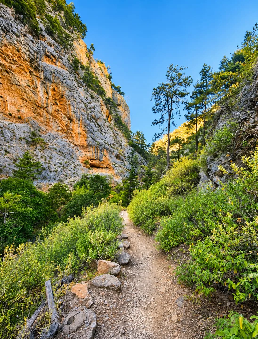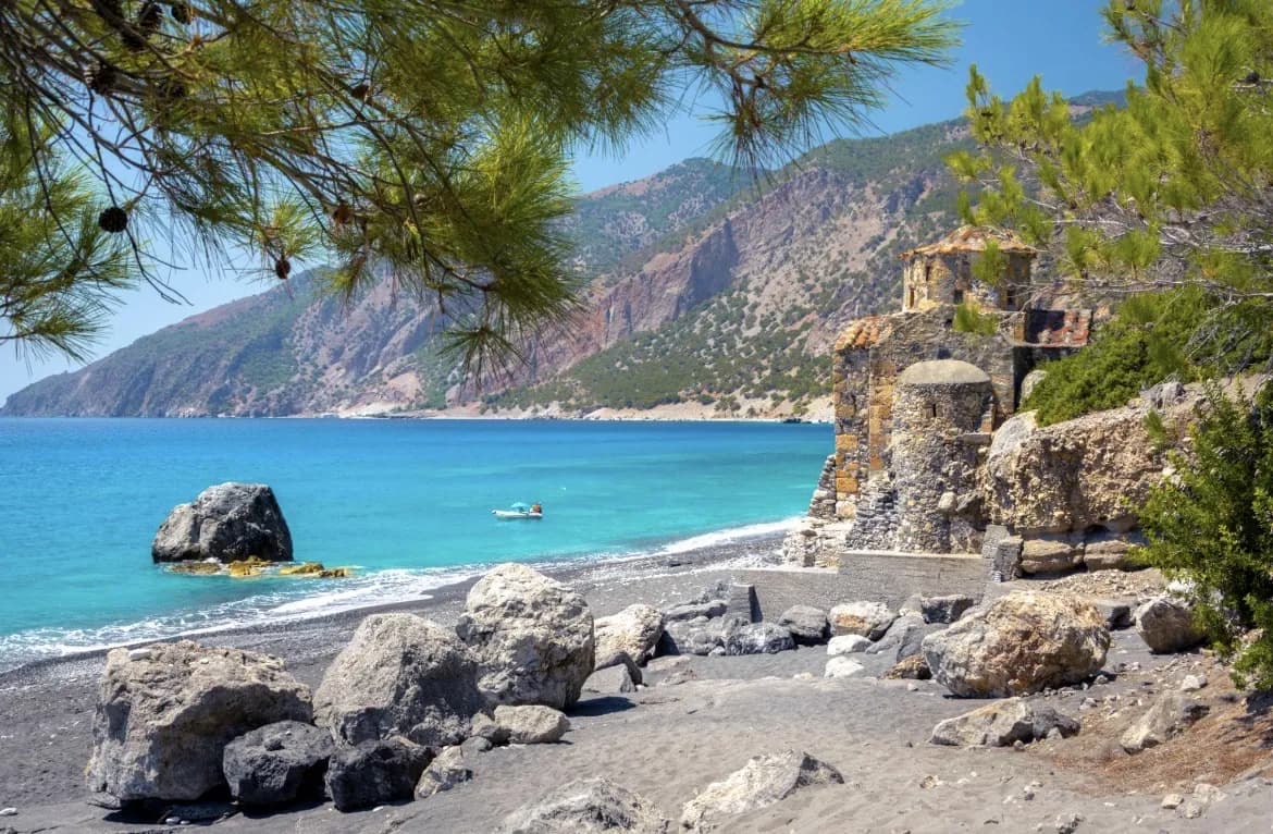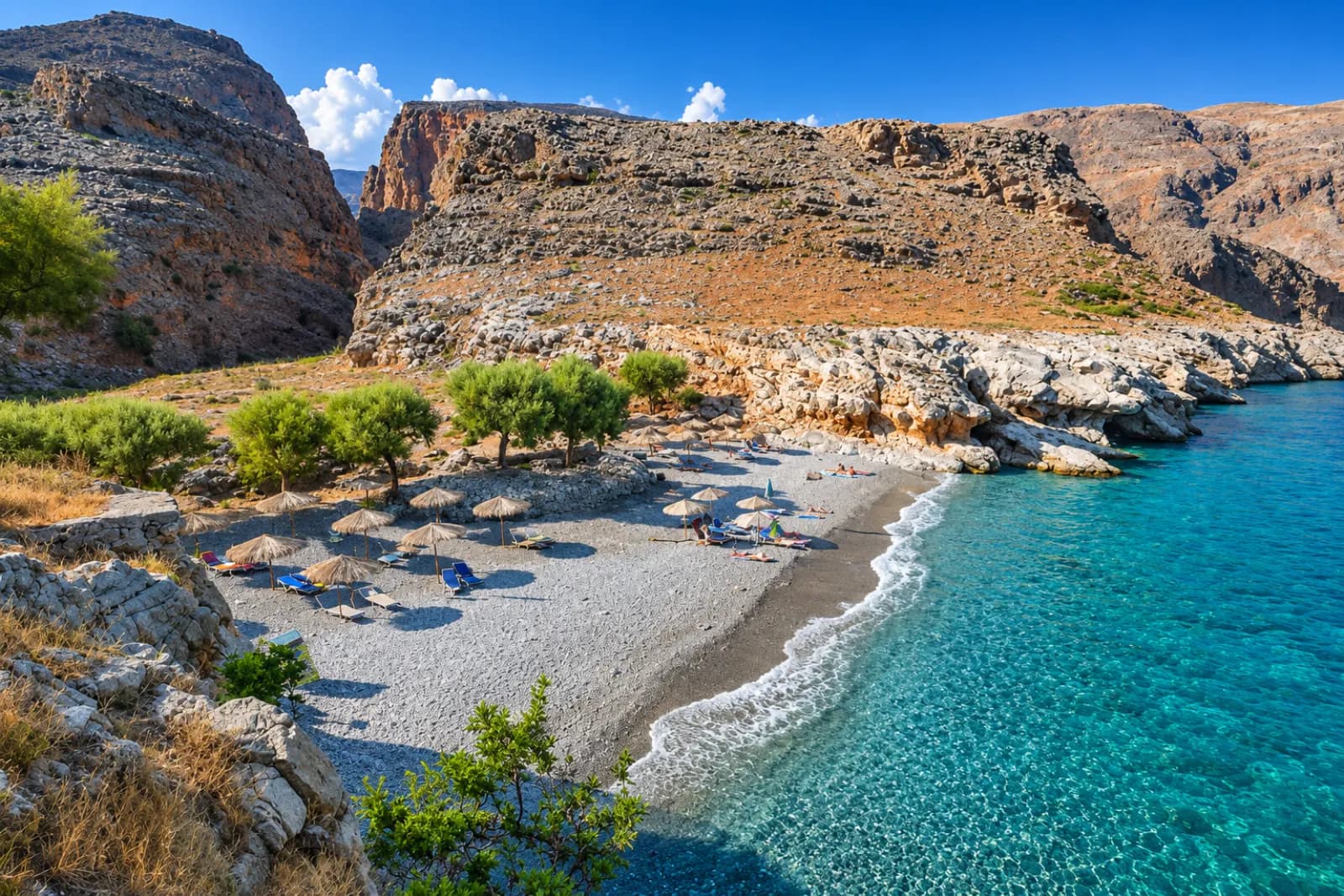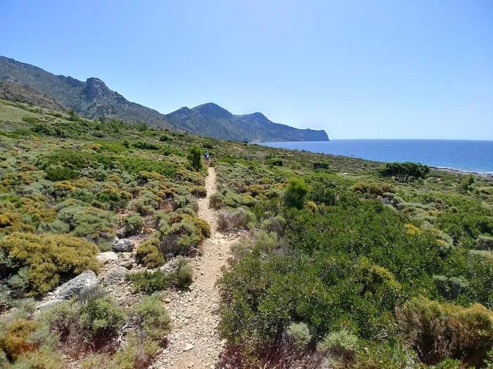
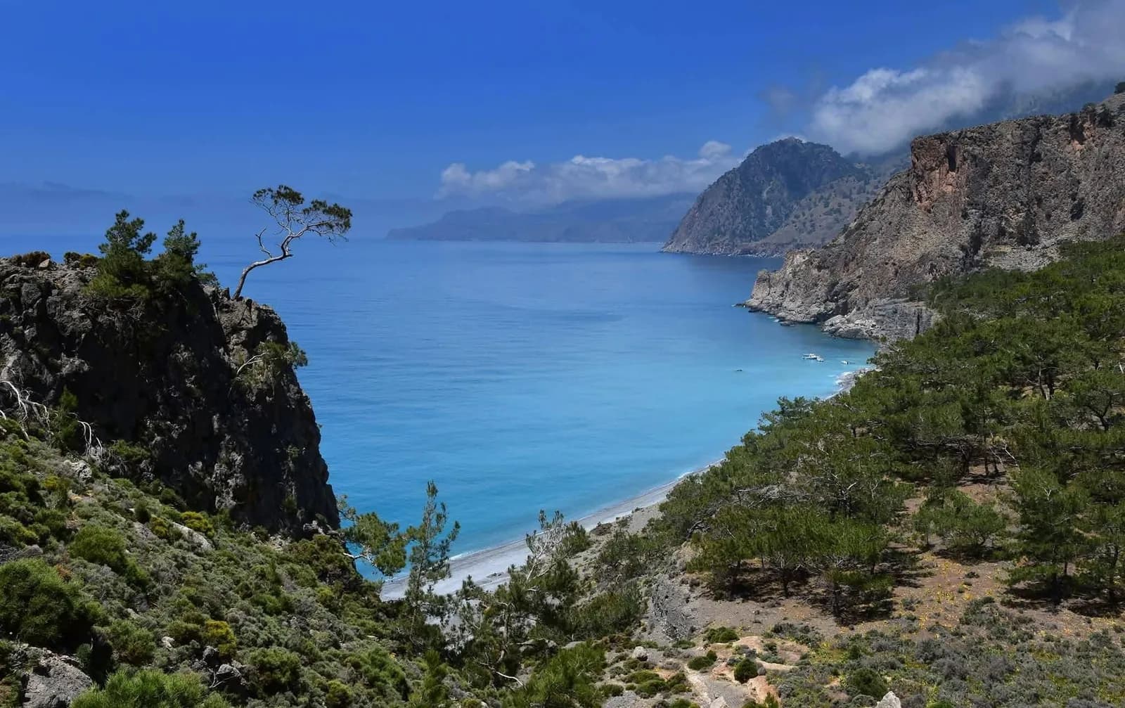
The walk from Sougia to Agia Roumeli is the wildest part of the European E4 path on the south coast of Crete. It runs for about 20 kilometres along the Libyan Sea, past ancient Pikilassos, the Tripiti gorge and Domata beach, and ends in Agia Roumeli, the village at the exit of the Samaria Gorge. There is no road at the end, so you leave by ferry.
This is not a casual coastal stroll. Most hikers need 8 to 10 hours, many split it over two days, and the last part has steep, exposed passages on loose stone. This guide gives you the real numbers, describes each section honestly and explains how the ferry fits into the day. Crete it! organises guided hikes in Crete from Kalyves, Apokoronas.
Key takeaways
- About 20 km on the E4 (sources give 18 to 21 km), 8 to 10 hours of walking, high point around 500 metres.
- One of the hardest E4 sections in Crete: repeated climbs, exposed passages after Tripiti and a steep, loose descent into Agia Roumeli.
- Few reliable water points and little shade. Carry at least 3.5 litres and avoid the midday heat of July and August.
- Agia Roumeli has no road: the ferry back to Sougia is part of the plan and it can be cancelled in strong wind.
The route at a glance
| Start | Sougia, southwest Chania |
| Finish | Agia Roumeli, at the exit of the Samaria Gorge |
| Trail | European path E4, black and yellow waymarks |
| Distance | About 20 km (sources give 18 to 21 km) |
| Walking time | 8 to 10 hours in one day, or two days with a night at Domata |
| High point | Around 500 metres, with several climbs from sea level |
| Difficulty | Hard: long, hot, exposed in places, some loose and steep ground |
| Water | A spring near Pikilassos and a well at Domata, neither guaranteed |
| Getting back | Ferry from Agia Roumeli to Sougia, then road |
| Highlights | Ancient Pikilassos, the Tripiti gorge and WWII memorial, Domata beach, the Klados gorge |
How long is the Sougia to Agia Roumeli hike?
Sources agree on roughly 20 kilometres, with estimates from 18 to 21 km depending on the exact line and the detours to the beaches. Walking time is where they differ most. Fit, experienced hikers who know the path finish in about 8 to 9 hours. Others report 10 to 12 hours with breaks, which is why many people split the walk in two.
Do not judge the day by the distance. The path keeps climbing from the sea to around 500 metres and dropping back, on rough ground with little shade. Plan the hours and count backwards from the ferry.
How difficult is it?
It is one of the hardest sections of the E4 in Crete, and the part from Domata to Agia Roumeli is the most demanding. The standard advice is simple: do not walk it alone.
What makes it hard:
- Length and heat: a full day of walking with repeated climbs and almost no shade.
- Exposure: after Tripiti there are eroded, exposed passages, and near the end a short traverse of about 200 metres with a drop of around 100 metres to the beach below.
- Scrambling: one short section of roughly 50 metres needs your hands.
- Footing: the final descent into Agia Roumeli drops about 300 metres down a steep gully, often on loose stones, when your legs are already tired.
- Navigation: the E4 waymarks are good, but at Domata you have to find the right ravine that climbs to the pass of Xeroporta. Losing the path here costs hours.
You need to be fit, used to rough mountain paths and comfortable with heights. If that does not describe everyone in your group, pick one of the shorter walks below.
The route section by section
Sougia to Tripiti
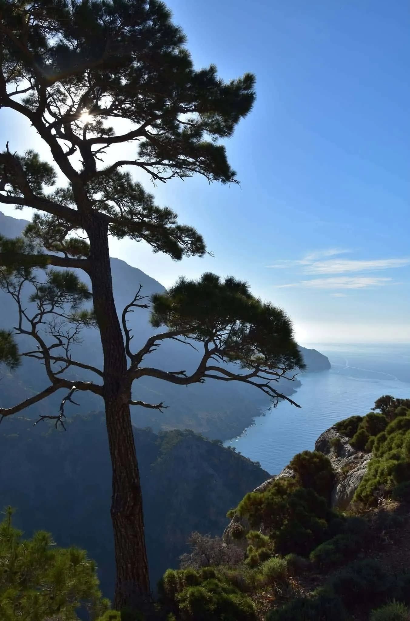
The first part is the friendliest. From Sougia the path climbs east to the chapel of Agios Antonios, then to ancient Pikilassos and the chapel of Profitis Ilias, with views over the Libyan Sea, the White Mountains and, on a clear day, Gavdos. A steep descent of about 25 minutes leads towards the Tripiti gorge.
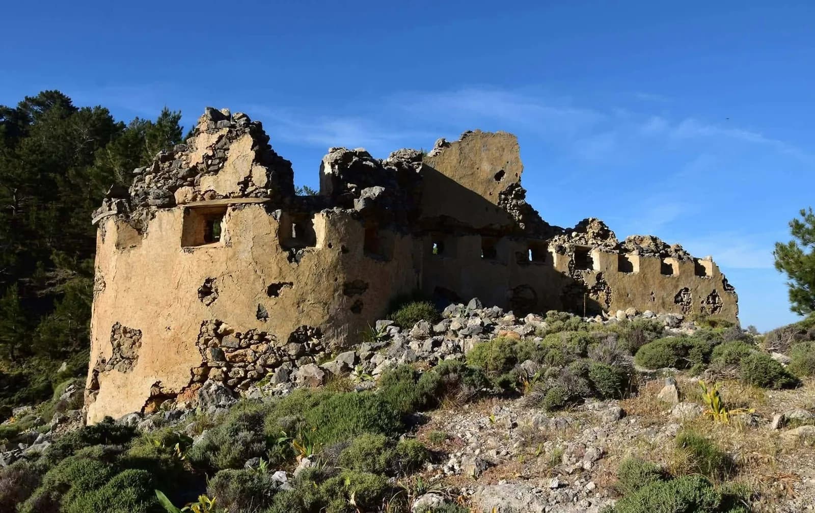
Tripiti has real history. On the night of 7 to 8 May 1943, a Royal Navy boat from Egypt took off some 60 British, Australian, New Zealand and Cypriot soldiers here, with agents and Cretan refugees. A memorial was unveiled in 2013.
Tripiti to Domata
The path passes the Sendoni beaches and contours through pine forest above ravines. The exposed passages start here. Allow about 2 hours to Domata, a remote beach at the mouth of the Klados gorge and the natural place to swim, rest or camp.
Domata to Agia Roumeli
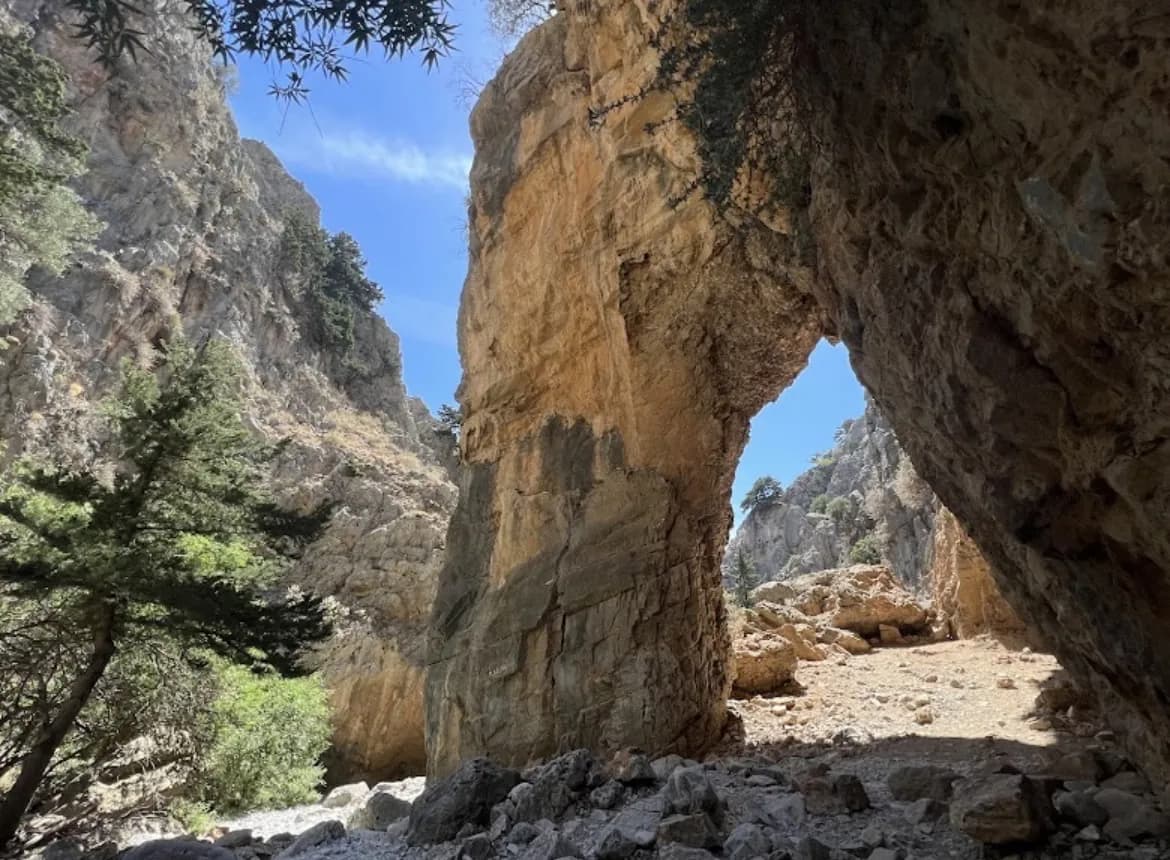
Domata is the critical point. You look for the ravine that climbs steeply to Xeroporta, the only passable way to the Agia Roumeli side. The path then runs under a cliff with caves, crosses the airy traverse and drops about 300 metres on loose stones to Agia Roumeli. Take this last part slowly.
Water, heat and the best season
There is a spring near ancient Pikilassos and a well at Domata, but neither should be your plan. Carry at least 3.5 litres per person, more in summer, and food for a full day. There is little shade outside the pine forest.
Local guides recommend April to September. Spring and early autumn are the most comfortable, because in July and August the heat on the open slopes is a real risk. Start at first light and turn back if the weather or the group is not right.
One long day or two days
In one day this leaves no margin for a slow walker or a wrong turn. That is why many hikers, including club groups, split it in two with a night at Domata beach, about 6 hours each day. The price is a heavier pack over the hardest ground. Some walkers instead take a water taxi from Sougia to Tripiti and walk only the harder half.
The ferry from Agia Roumeli
Agia Roumeli has no road, so everyone leaves by sea. ANENDYK ferries connect it with Sougia and Paleochora to the west and Loutro and Chora Sfakion to the east. The crossing to Sougia takes about 45 to 50 minutes.
The summer timetable has the most sailings and the service drops sharply from October to May, so check it before you set off. Tickets are sold online and, in high season, at the port. Sailings can be cancelled when the wind is above 6 Beaufort.
Other walks on the same coast
- Paleochora to Sougia via ancient Lissos: the E4 west of Sougia, Lissos is about 90 minutes away.
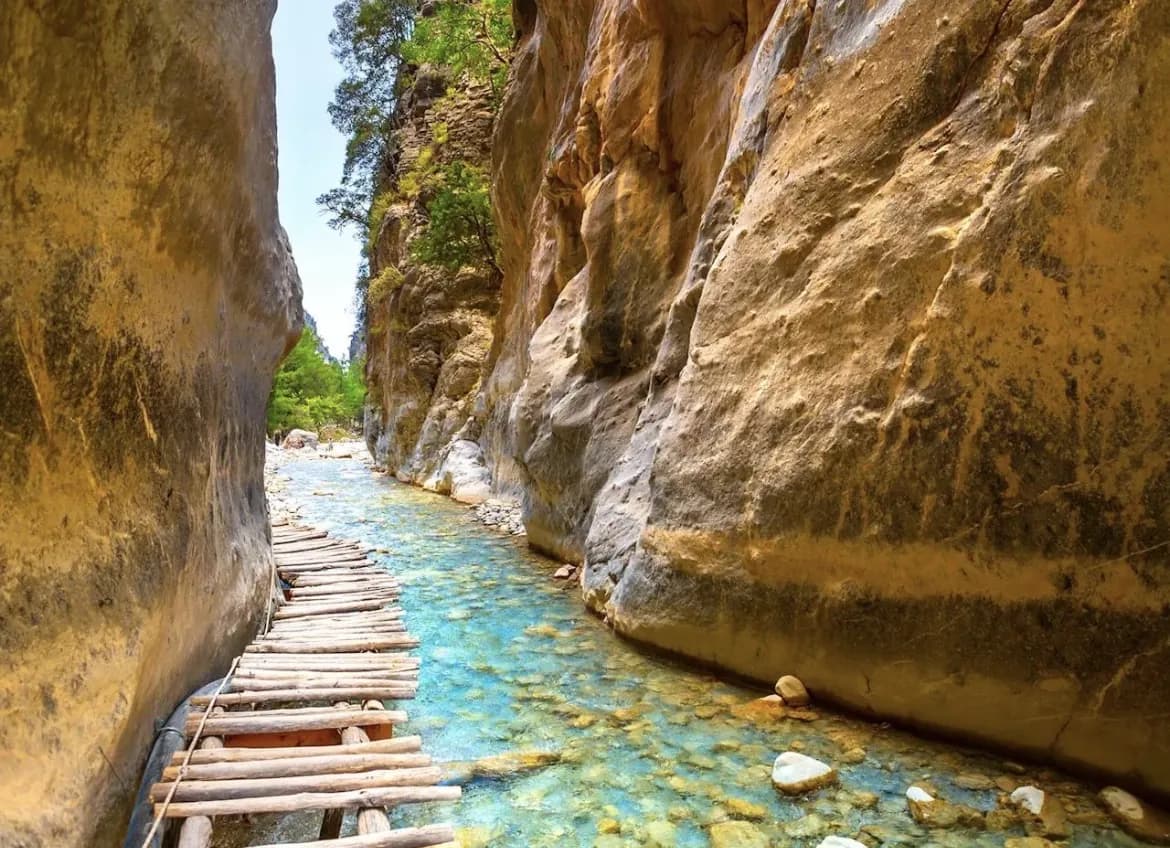
- Samaria Gorge: 16 km down to Agia Roumeli, long but not technical.
- Agios Ioannis to Agios Pavlos and Marmara: the coast east of Agia Roumeli.
- Imbros Gorge: 2.5 to 3 hours, open all year.
What to bring
- Water, at least 3.5 litres per person
- Hiking boots with good grip for loose, stony ground
- Backpack
- Sunscreen
- Hat
- Light snack
- Camera
- Sunglasses
Hiking Sougia to Agia Roumeli with Crete it!
We are based in Kalyves, Apokoronas, and we organise guided nature hikes across Crete. On this route the guide matters more than usual: pacing the group against the ferry, finding the line at Domata and deciding on the day if conditions are right. For a lighter day out, there is our quad safari.
What is included
- An experienced mountain guide who stays with the group for the whole hike
- Transport, with pick up from Chania town and its suburbs, Stalos, Agia Marina, Platanias and the whole Apokoronas area
- Entrance tickets and ferry tickets where needed, on this route the ferry back from Agia Roumeli
- Hiking equipment: safety helmets where required and trekking poles
All of this at no extra charge. There is no fixed price: we quote per group, depending on group size, season, any extras you want to add and the difficulty of the route.