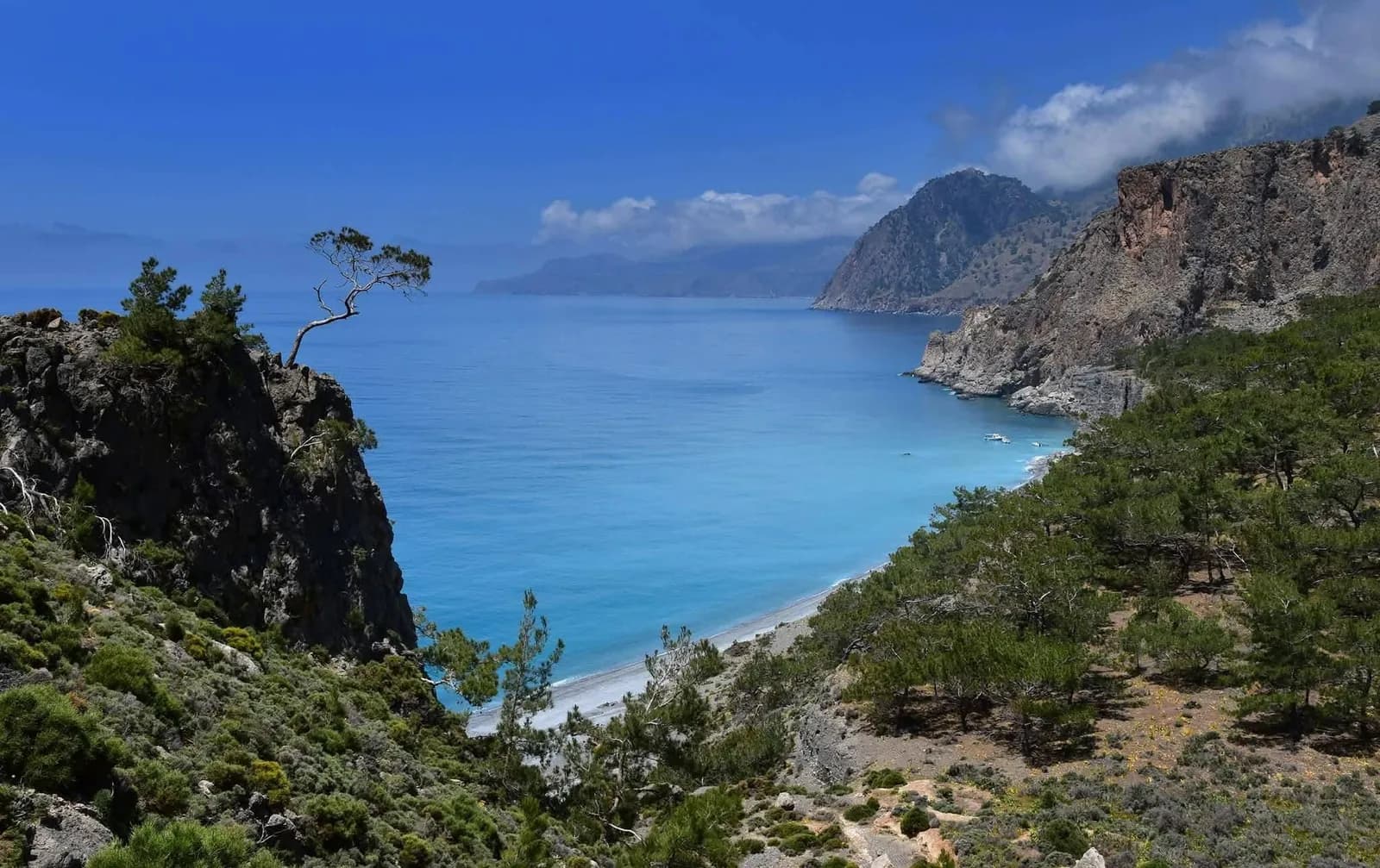
This is one of the most beautiful coastal hikes in southern Crete. It starts high in the mountain village of Agios Ioannis in Sfakia, drops through the pine forest of Selouda to the chapel and beach of Agios Pavlos, then follows the E4 European path east along the Libyan Sea to Marmara beach, Lykos and finally Loutro, a village with no road.
It is about 15 kilometres and 6 to 7 hours of walking. This guide covers each section, the difficulty, the ferry back from Loutro and what to bring. Crete it! organises guided hikes on this route from Kalyves, Apokoronas.
Key takeaways
- About 15 km and 6 to 7 hours of walking, from a village at roughly 750 to 800 m down to sea level.
- The hardest part is the first 2.5 to 3 hours: a steep old path with loose stones down to Agios Pavlos.
- After that you follow the E4 along the coast, with swimming stops at Agios Pavlos, Marmara and Lykos.
- Loutro has no road. You leave by ferry to Chora Sfakion, a crossing of about 20 minutes.
The route at a glance
| Start | Agios Ioannis, Sfakia, a small mountain village at roughly 750 to 800 m |
| Finish | Loutro, on the Libyan Sea |
| Distance | About 15 km, one way |
| Descent | About 750 to 800 m, almost all of it in the first section |
| Walking time | 6 to 7 hours with short breaks, longer with swims |
| Difficulty | Moderate: a steep rocky descent, then a coastal path with small climbs |
| Path | Old stone path through the Selouda pine forest, then the E4 European path |
| Beaches on the way | Agios Pavlos, Marmara, Lykos, Finikas and Loutro |
| Getting back | Ferry from Loutro to Chora Sfakion, about 20 minutes, then road |
Agios Ioannis to Agios Pavlos via Selouda
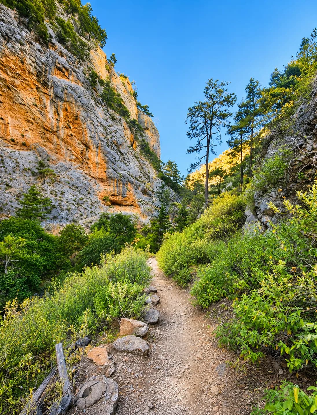
Agios Ioannis sits at the end of the road that climbs from Chora Sfakion to Anopoli and continues west towards Aradena. You turn left just before the Aradena bridge. The waymarked path leaves the village heading south to the edge of the slope, where the view opens over the whole south coast. From there the old built path drops in many zigzags into the pine forest of Selouda.
This section is about 5.5 km and takes 2.5 to 3 hours. It is the most demanding part of the day. The path is well signed and the old stonework is still in fair condition, but there are many places with loose rock, and the descent is long and steep. Trekking poles help a lot here.
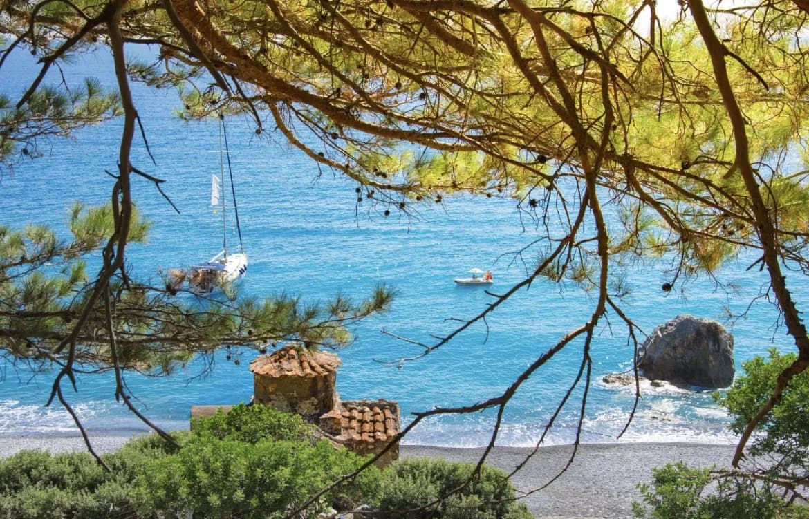
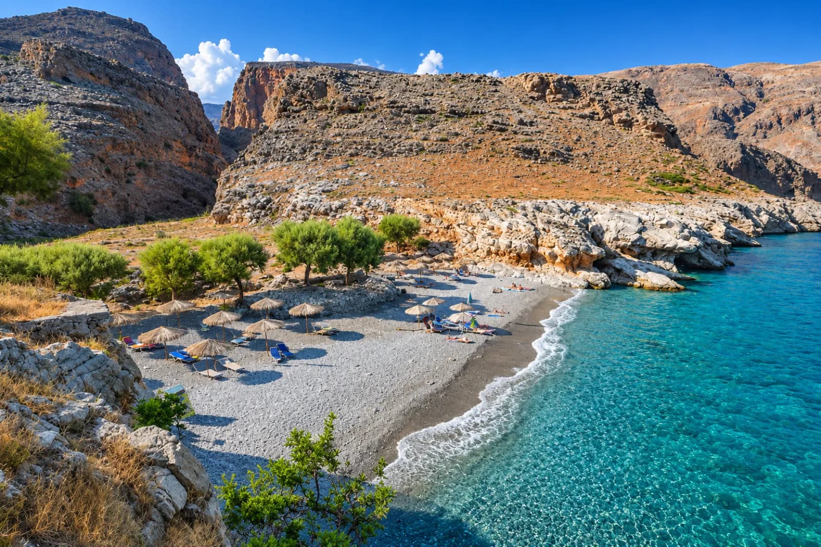
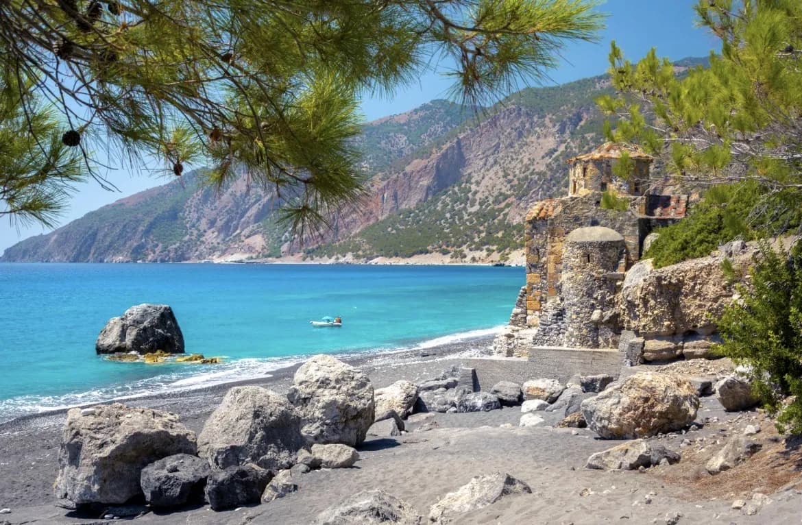
At the bottom you reach the beach of Agios Pavlos and its small stone chapel, built right on the sand with stones from the beach. The church dates to around the 10th century and has frescoes from the 13th century. Local tradition says the Apostle Paul baptised people here on his way to Rome. The beach has grey and brown sand, clear water and pine trees for shade.
Agios Pavlos to Marmara beach
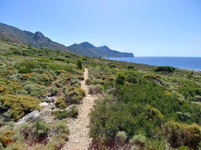
From Agios Pavlos you join the E4 European path and head east. This is the longest section of the coastal part, roughly 6.5 km, and takes around 2.5 hours. The path first climbs through pine trees above the sea, passes the small church of Agioi Pantes, and runs for a while parallel to the shore with a sandy beach below.
Further on the pine forest ends and the landscape turns bare. You cross slopes of scree and several gullies, then walk along a cliff high above the sea with wide views along the coast. There is little shade here.
The path then drops to Marmara beach at the mouth of the Aradena Gorge. Marmara means marbles, after the smooth, pale rocks around the bay. It is a small pebble beach with sea caves on its eastern side, some of them connected, so you can swim from one to the next. A small cafe taverna sits on the cliff at the edge of the beach.
Marmara to Loutro via Lykos and Finikas
The last section is about 3 km and takes around an hour to an hour and a quarter. It is the easiest part of the day. The path follows the rocky coast east to Lykos, a small beach with a Byzantine chapel and a few tavernas with rooms. It then goes around a small rocky hill and comes down to the little bay of Finikas.
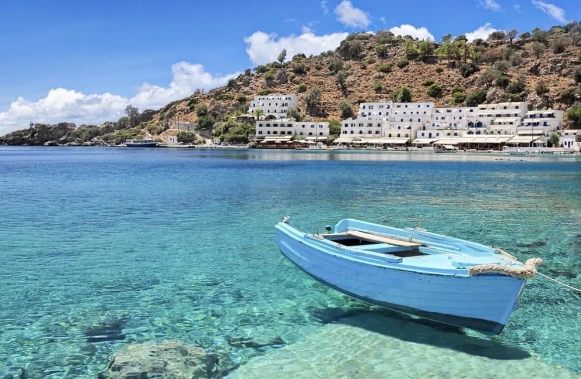
From Finikas you climb gently towards the cape, past the ruins of an old fortress, and see Loutro below you: white houses around a bay, no cars and no road.
How hard is the hike?
Overall this is a moderate hike. It is not technical and there is no climbing, but you need reasonable fitness and some experience on rough mountain paths. The first 2.5 to 3 hours are the test: a long, steep descent on loose stones that is hard on the knees and ankles.
The coastal part has short ups and downs, a few exposed stretches above the sea and scree slopes, but no long climbs. The main difficulty there is sun and heat, because much of it has no shade.
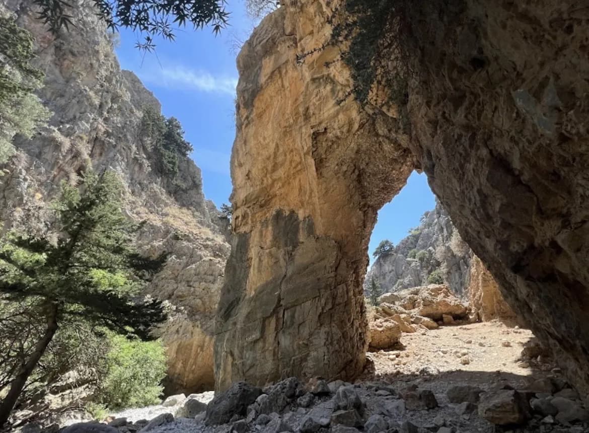
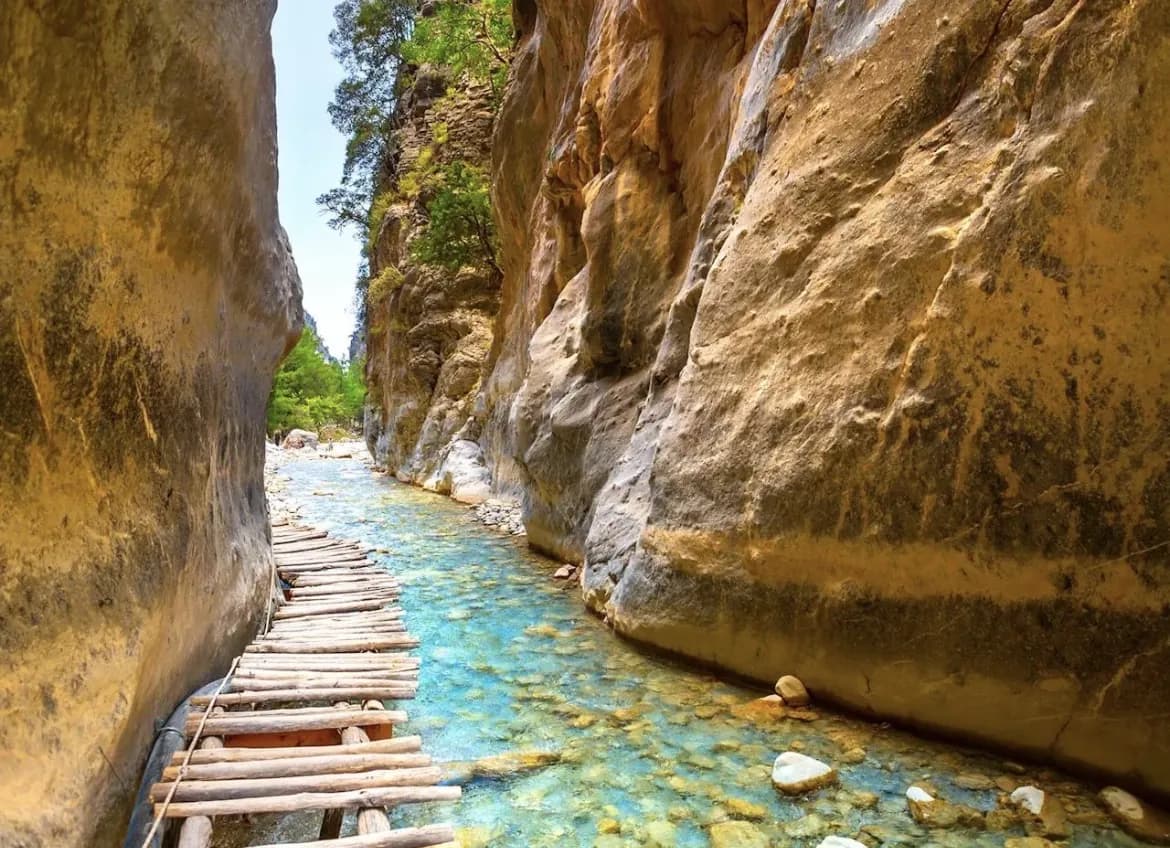
If you want something shorter for a first hike in Crete, the Imbros Gorge is easier and shorter. If you want a bigger day, the classic is the Samaria Gorge, 16 km from Omalos down to Agia Roumeli.
Getting there and back: the road, Loutro and the ferry
Agios Ioannis is reached by the mountain road through Anopoli. Loutro can only be reached on foot or by boat.
From Loutro, ferries run to Chora Sfakion. The crossing takes about 20 minutes, and in the season there are several departures a day. From Chora Sfakion you still need road transport, either back up to Agios Ioannis for a car, or back to the north coast. Timetables change with the season, so check the current one with the ferry company before you go.
If you drive yourself, the car is left in Agios Ioannis, high above the coast, while you finish at sea level on the other side of a ferry ride. That is why many people prefer an organised day with transport on both ends.
When to go and practical tips
Spring and autumn are the best seasons. The air is cooler and the long descent and the open coastal stretches are much more pleasant. In summer the hike is still done, but start early and plan your swims for the hottest hours.
- Carry enough water for the first section. Do not rely on buying anything before Marmara.
- Wear hiking shoes with grip and ankle support. The Selouda path has loose stones.
- Bring swimwear. Agios Pavlos, Marmara and Lykos are all good for a swim.
- Leave enough time in Loutro for the boat. Check the ferry timetable the day before.
If you like this kind of walk, two more E4 sections further west are Sougia to Agia Roumeli and Paleochora to Sougia via Ancient Lissos.
What to bring
- Water (at least 1.5l)
- Hiking shoes with grip and ankle support
- Backpack
- Sunscreen
- Hat
- Light food
- Swimwear
- Camera
- Sunglasses
Hiking Agios Ioannis to Loutro with Crete it!
We are based in Kalyves, Apokoronas, and we organise guided nature hikes across Crete. On this route the logistics are what make an independent day difficult: a start high in the mountains, a finish in a village without a road and a ferry in between. We take care of that part, so you can focus on the walk and the swims.
What is included
- An experienced mountain guide who stays with the group for the whole hike
- Transport, with pick up from Chania town and its suburbs, Stalos, Agia Marina, Platanias and the whole Apokoronas area
- Ferry tickets where needed, including the boat from Loutro
- Hiking equipment: safety helmets where required and trekking poles
All of this at no extra charge. There is no fixed price: we quote per group, depending on group size, season, any extras you want to add and the difficulty of the route.